
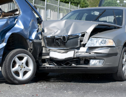
Because a judge or jury may not be familiar with the area of a Maryland or West Virginia automobile accident, our lawyers frequently rely on maps and photographs of the scene of the collision to help explain how the auto accident happened.
In this internet-age, we frequently rely on maps from the internet. In particular, Google Earth (free to download) gives lawyers the ability to hone in on the most minute details of an accident scene, or else take a faraway and broad view of the accident location. This can help the factfinder understand the scene and how the accident occurred. Google Earth is so exact in most cases that we can show a jury how many lanes there are on a particular stretch of road, and what the roadway markings look like.
Google Earth also allows us to show a “streetview” perspective in many cases. This will give our jurors a first-person perspective of the drivers’ viewpoints immediately before the collision. We have used streetview perspectives to show the jurors how the traffic signals are positioned, and even the nature of roadway signs.
Of course, these maps and photographs are not ordinarily admissible on their own. The plaintiff, defendant and witnesses can usually testify that they are fair and accurate representations of the scene, which is usually sufficient.
Contact Us
If you have questions after an automobile accident in Maryland or West Virginia, contact our personal injury lawyers at 1-800-776-4529, or send us some brief information about your automobile accident to us through our online portal. We’ll put our expertise to work for you right away.
More Maryland Automobile Accident Information
- Using Property Damage in a Liability Case
- Police Reports
- Proving Your Injuries in a Maryland Lawsuit
- What is my Maryland Automobile Accident Case Worth?


